
Kids love putting this together. We push back the desks to make a big open area on the floor and sit in a big circle, then put out one piece at a time and place it. Throughout the entire process I am reviewing latitude, longitude, hemispheres, continent and ocean names and cardinal/intermediate directions. We use yarn for the Prime Meridian and Equator and index cards with the names for the Oceans.
Then we use unifix cubes to mark all the spots they are responsible for knowing: VA, USA, Egypt, China, etc. etc.
 It takes teamwork! Kids who are participating well earn the right to place the pieces. Lots of motivation there! Everyone wants to help!
 The pieces were done with big colored poster board. They are not laminated but have held up through the years. Using an old opaque projector is the way to go and this would be a great job for a parent volunteer!
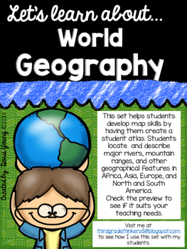
Third graders need to learn continents around the world and what geographical features are found in each one. My students go on to making their own atlas. I am sharing these printables in a set I've included in my TPT store. You can check it out here:

 youngdor8@gmail.com


4E985C1588
ReplyDeleteTakipçi Satın Al
Free Fire Elmas Kodu
Snapchat Puan Hilesi
Clash Royale Taş Hilesi
Takipçi Hilesi
Google Yorum Satın Al
SEO Danışmanı
En İyi Filmler
Google Play Kodu